Missed approach: climb on track 350°M to 1,800′, then direct MA35 (ISYH DME 5.5 on the localizer course) and hold, right turns, 1-minute legs, inbound 350°M, maintain 1,800′.Notes: DME or GPS required. Missed-approach hold at MA35 is identified by ISYH DME on the localizer course.
Plan view · north up · not for navigation
Profile view · not to scale
Straight-in minimums
CAT I DA(H)
220′ (204′)
RVR / VIS
550 m / 1,800 ft
Runway & lighting
RWY 35
3,937′ · asphalt
Lighting
MALSR · PAPI 3.0° · edge
Auto-published from the airport design · for Microsoft Flight Simulator only — not for real-world navigation.
From the builder
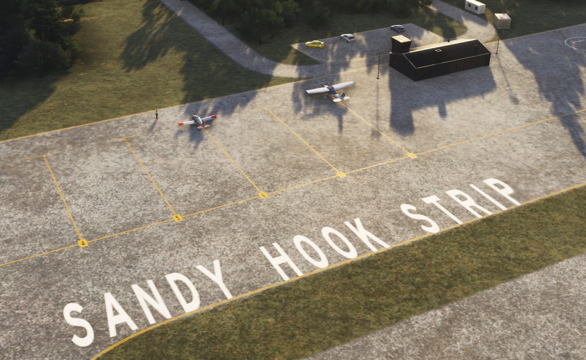
KSYH · in Microsoft Flight Simulator 2024
The story of Sandy Hook Strip
Built in 1973 near the peak of the recreational era, Sandy Hook Strip (KSYH) was originally a gravel strip built to serve the Sandy Hook area, later expanded to accomodate larger traffic. It is federally owned, and primarily managed by the National Park Service as part of the Gateway National Recreation Area.
This towered airfield features two asphalt runways: a main 1200m runway, and a 730m long auxiliary runway. It also features 2 fuel stands, capable of handling light single-engine and twin-engine general aviation aircraft, turboprops, select light-to-mid-size business jets, and various vintage or utility aircraft.
--My first airport
- YourAverageJoe
Field radio
Comments
0 transmissions
The frequency is quiet
Be the first to leave a note for the builder or a tip for visiting pilots.
Join the field radio
Sign in on the web to comment—Discord isn't required.
Install the free companion app and KSYH - plus every airport on Project Airports - drops straight into Microsoft Flight Simulator 2024 and stays up to date. No SDK, no DevMode, no file wrangling.



Comments
The frequency is quiet
Be the first to leave a note for the builder or a tip for visiting pilots.
Join the field radio
Sign in on the web to comment—Discord isn't required.