13 taxiway, apron or building features lie away from the runways and are not drawn.
ATC routes on the airport's published taxi network and holds aircraft short at every runway exit, painted or not.
Auto-published from the airport design · for Microsoft Flight Simulator only - not for real-world navigation.
Auto-published plate
Bennett Brothers Airpark (KBBR)
RNAV (GPS) RWY 26
RNP APCH · LNAV/VNAV
APCH
RNP LNAV/VNAV
FINAL CRS
261°M
GP / TCH
3.0° / 52′
DA (VNAV)
7,400′ (248′)
TDZE
7,152′
APT ELEV
7,120′
Missed approach: climb on track 261°M to 10,200′, then direct RM26 and hold, right turns, 1-minute legs, inbound 261°M, maintain 10,200′.Notes: GPS required.
Plan view · north up · not for navigation
Profile view · not to scale
Straight-in minimums
LNAV/VNAV DA(H)
7,400′ (248′)
LNAV MDA(H)
7,550′ (400′)
VIS
1,600 m / 1 SM
Runway & lighting
RWY 26
4,508′ · asphalt
Lighting
as installed
Auto-published from the airport design · for Microsoft Flight Simulator only — not for real-world navigation.
From the builder
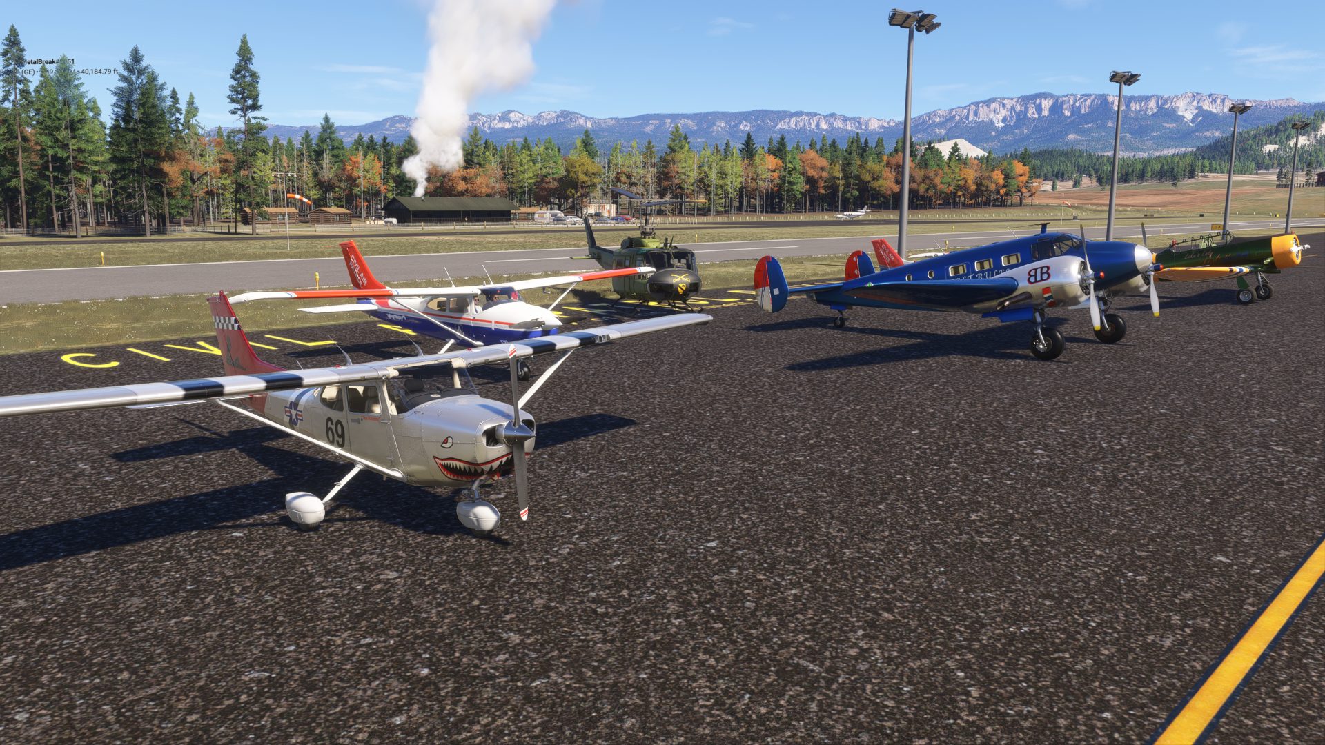
KBBR · in Microsoft Flight Simulator 2024
The story of Bennett Brothers Airpark
Near Garrison CO (fictional) and the Iron River Ranch, sits the Bennet Brothers Ranch Airpark. Colt and Abby are proud of Colt for getting his Sport Flying License. All are welcome.
- Capt Oblivious
Field radio
Comments
2 transmissions
S
SAVCOM
from: VTCS12 - Popped in to visit, but found no asphalt runway. ? what happened ?
C
Capt Oblivious
Not sure... should be asphalt.... added quite a bit since then.
Join the field radio
Sign in on the web to comment - Discord isn't required.
Fly Bennett Brothers Airpark KBBR in your own sim.
Install the free companion app and KBBR - plus every airport on Project Airports - drops straight into Microsoft Flight Simulator 2024 and stays up to date. No SDK, no DevMode, no file wrangling.



Comments
SAVCOM
from: VTCS12 - Popped in to visit, but found no asphalt runway. ? what happened ?
Capt Oblivious
Not sure... should be asphalt.... added quite a bit since then.
Join the field radio
Sign in on the web to comment - Discord isn't required.