
The Claim Map3 min read
Live traffic
Pilots flying with the companion app appear on the Claim Mapas live aircraft. It's the same feed that decides who visited which airport, and pays for it - and it makes the world feel inhabited.
What you see
Each aircraft icon carries the flight's heading, altitude, speed, and aircraft type. Zoom in close and aircraft render as 3D models, matched from the aircraft catalog to what the pilot is actually flying.
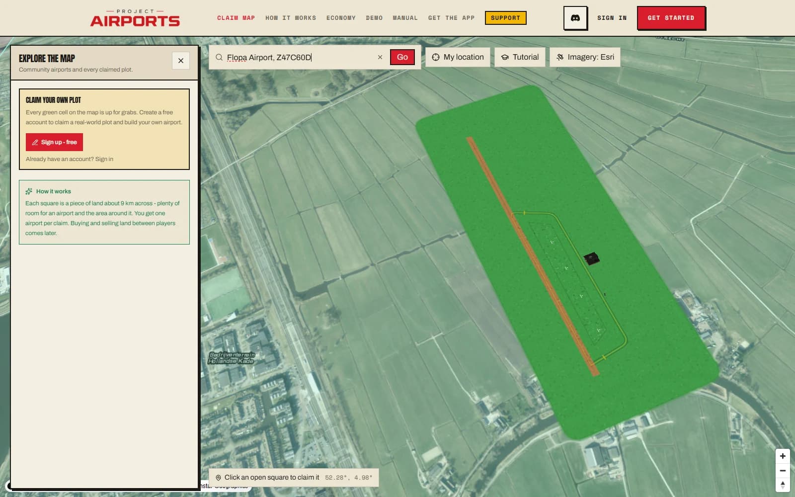
The best moment it enables: watching someone on approach to yourairport. Once they're over the field, that's a visit - and it pays you whether or not they land - see Flying your airport.
How it works
The companion app sends a position heartbeat roughly every 30 seconds while you fly. Between heartbeats the map dead-reckons each aircraft along its last known heading and speed, so movement looks smooth rather than teleporting twice a minute. The app also uploads a denser track between heartbeats, which is what catches a fast low pass over a field - so a visit registers even if the beat itself lands somewhere over open country.
What's shared
- Only coarse flight data: position, heading, altitude, speed, and aircraft type.
- It's tied to your public callsign - never your real name or email.
- You appear only while you're flying with the companion app running. Close it and you're off the map.