
The Claim Map6 min read
The Claim Map
The Claim Map at /explore is the front door to the world: a satellite globe where every claimed cell, every built airport, and every pilot flying right now is visible in one place.
One map for everyone
There is exactly one world map, and it adapts to you. Logged out, it's read-only - you can roam the globe and look at every airport, and trying to claim or favorite nudges you to sign up. Logged in and onboarded, the same map is the full claiming experience.
The Claim Map link in the header takes you there from every page on the site.
Reading the map
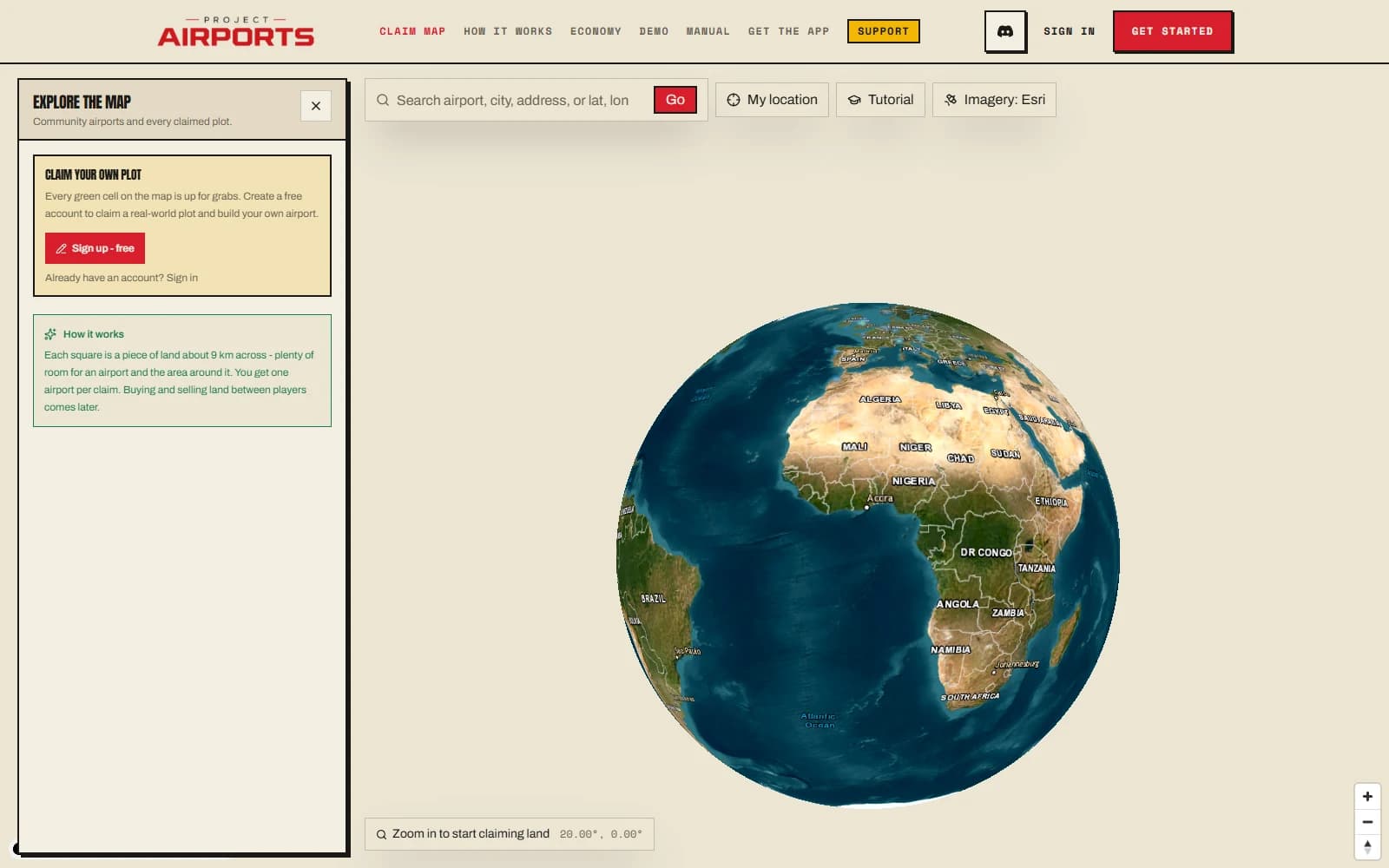
The map opens as a satellite globe of the whole planet - spin it, find your corner of the world, and dive in.
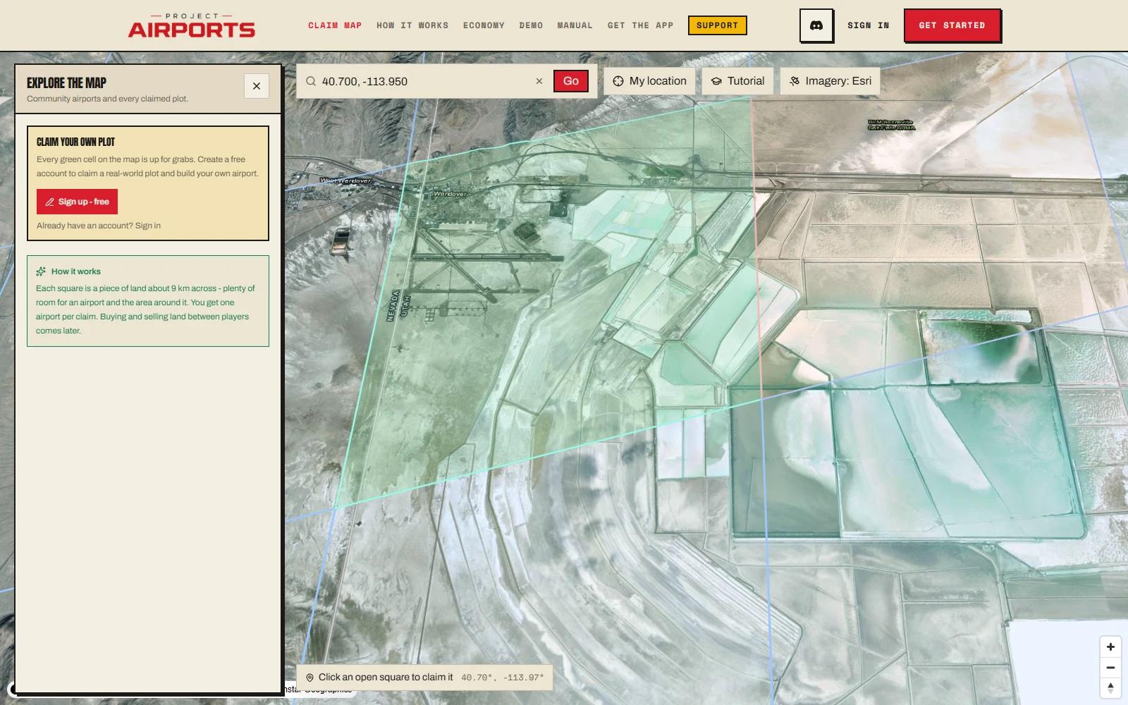
Zoom in and the claim grid fades up. Claimed land shows as tinted cells - each cell is roughly 9 km across (about 80 km²), and one cell is one claim (see Claiming land).
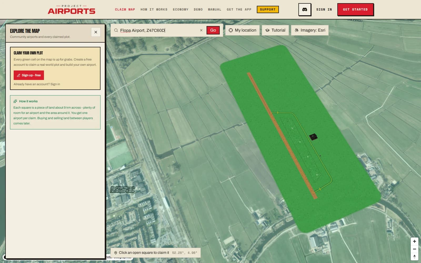
Zoom in on a built airport and it renders in satellite-realistic detail right on the map - runway markings, taxiways, 3D buildings - so you can window-shop the community's work without opening anything. The claim tint fades away at close zoom so it never hides the airport itself.
Imagery & terrain
- High-resolution satellite imagery streams worldwide, from globe scale all the way down to the close-up inspect view.
- 3D terrain appears as you zoom in (around zoom level 10 and beyond), so mountain strips look like mountain strips.
- Charts in the top bar lays an aviation chart over the map, with every community airport still on top - handy for planning a flight to one. VFR Sectionalis the FAA's current chart (airspace, terrain heights, nearby fields and VORs; US only, from about state-level zoom inwards). Airspacedraws openAIP's worldwide airspace, airports and navaids over the satellite view. Both are for sim flight planning, not real-world navigation.
The inspector panel
Select a cell and the inspector panel opens. For your own account it shows:
- How many claims you've used against your limit, and the price of your next claim.
- Your airports, each with Open in builder or Start building - and Release when you want the land back (refund rules in Claiming land).
On any published airport, the inspector also shows its traffic this week (Quiet, Steady, Busy or Bustling) and what that does to your tour pay there, plus a Trailblazer badge when its bonus is waiting (a field rests 14 days after a visit). Zoomed in, those fields also show a small yellow compass on their map pin. See Earning Aeros.
A map that's alive
Two things keep the globe from feeling like a static atlas. Pilots flying with the companion app appear as moving aircraft icons in real time - that's Live traffic. And the search bar finds both places and community airports, with your favorites one click away - Search & favorites.